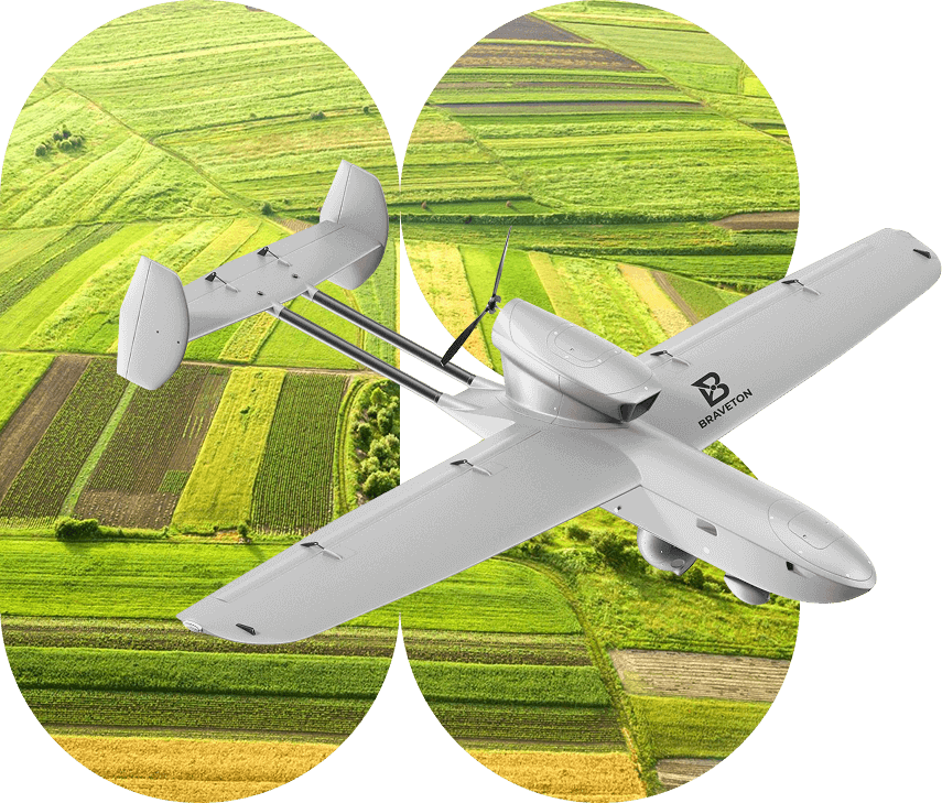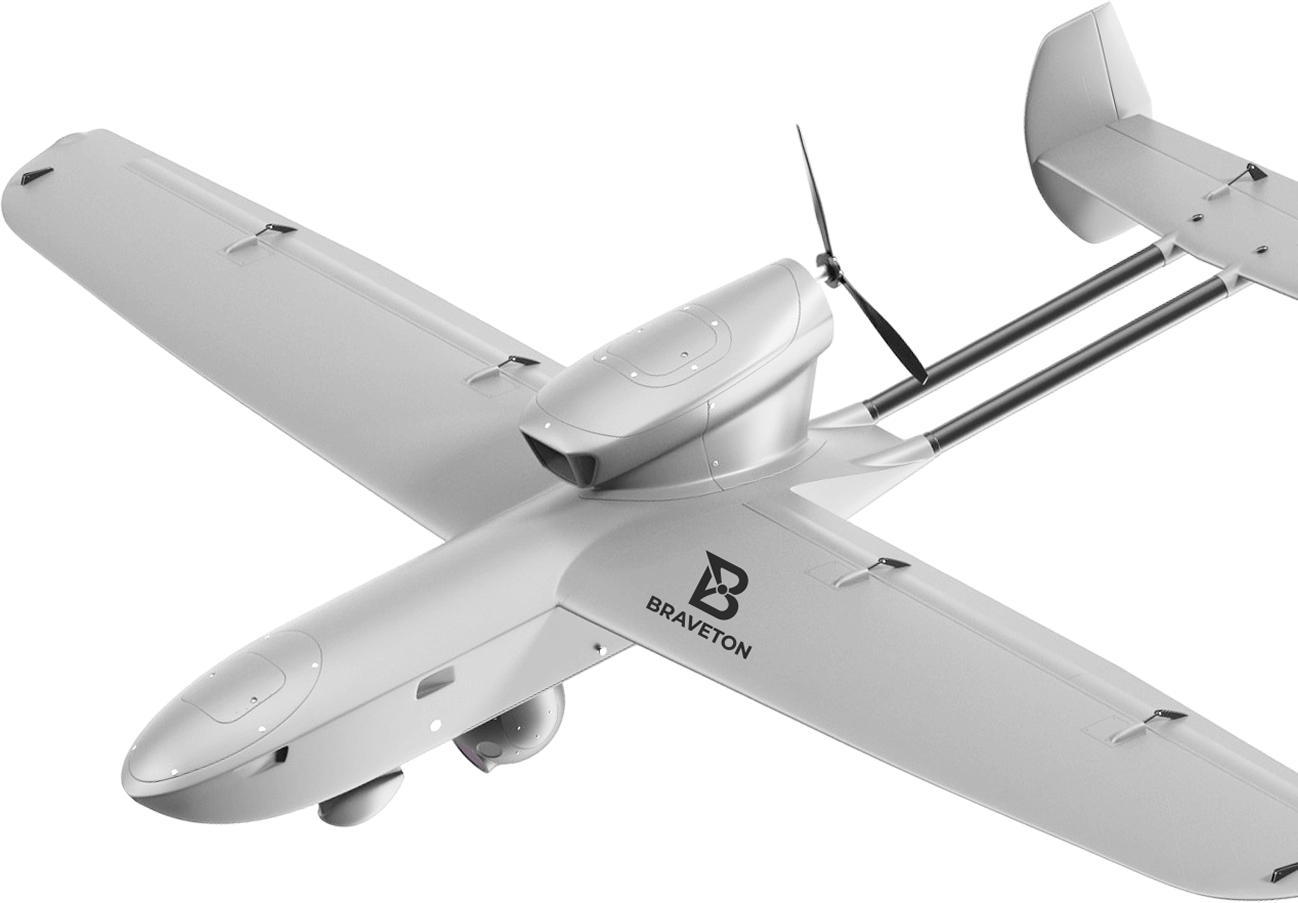
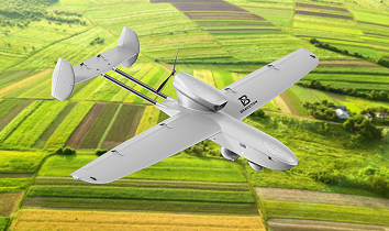
Smart drones —
your eyes over the field
Thanks to automated shooting and data processing, farmers can focus on decision-making instead of gathering numbers.
Learn moreBenefits of this approach:
Maximum
resource savings
- Soil and plant condition analysis helps apply fertilizers in time and cut excessive costs.
- Automatic data collection replaces hundreds of manual measurements — you reduce labour and equipment expenses.
Higher yield
and quality
- Timely data on plant stress and moisture deficit lets you act before growth slowdown starts.
- Regular monitoring reduces diseases and crop loss.
Flexibility
and scalability
- Supports both one-off flights and scheduled automated routes.
How it works
01
planning
Define the area of interest on the in-app map.
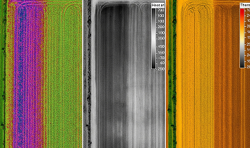
Select data type: multispectral shot, thermal imaging or combined mode.
02
execution
The drone autonomously flies the field along the route with optimal frame overlap.

On-board pre-processing: sensor noise correction, geotagging and image packaging.
03
analysis

Final images and indices are automatically uploaded to the cloud.
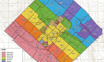
Colored maps and reports with irrigation and care recommendations are generated in the web dashboard.
04
making

The agronomist only needs to view the visual map, export the report to PDF or CSV and start workflow optimisation.